Maps, Plans and Surveys (1)
Map of the manor of Digswell, 1599
By Susan Flood
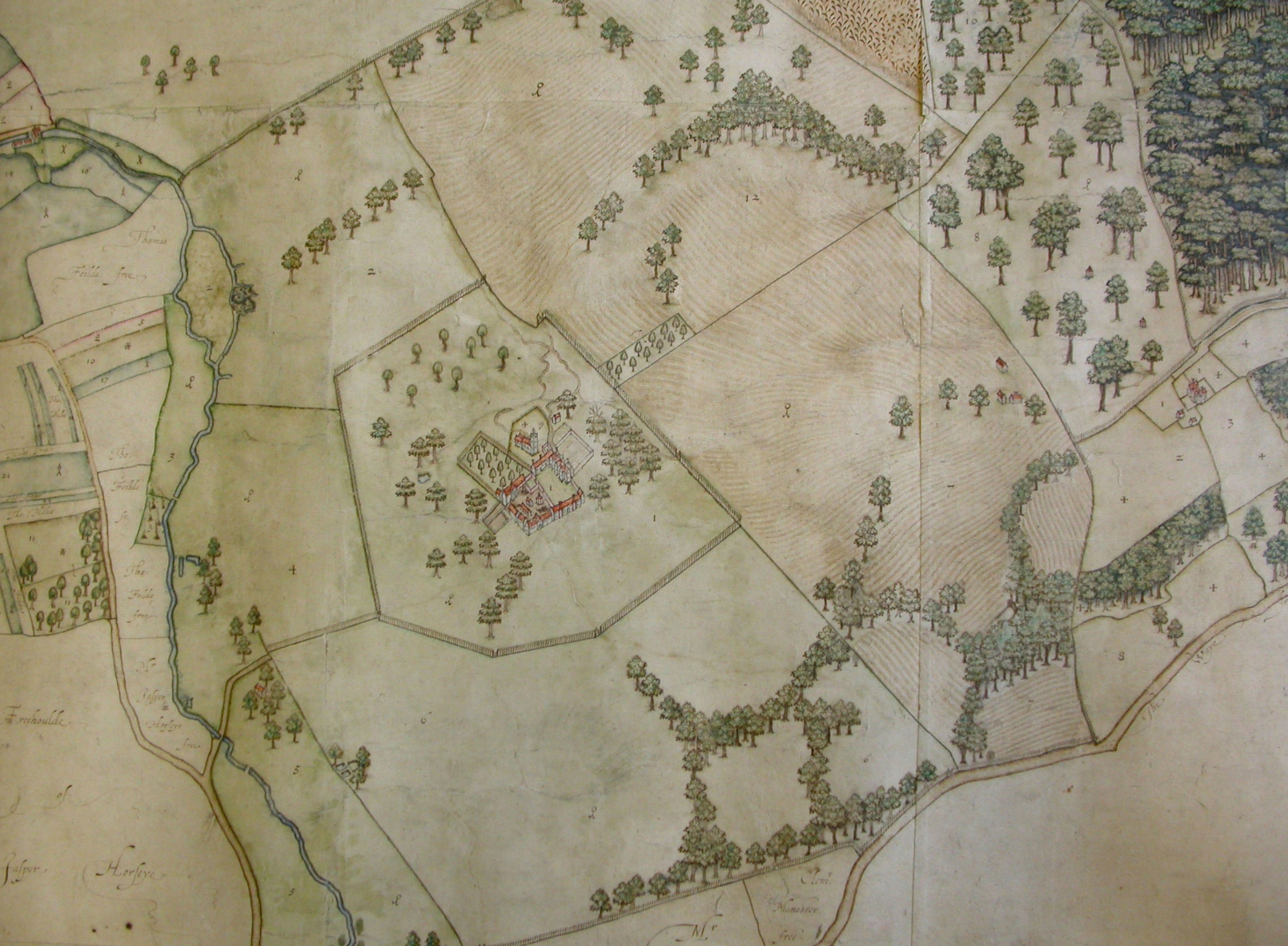
![Map of the manor of Digswell, 1599 | [HALS: Ref DE/P/P1]](https://www.ourwelwyngardencity.org.uk/wp-content/uploads/cms/Digswell_map.3-320x235.jpg "Map of the manor of Digswell, 1599")
One of the oldest maps held at HALS is this map of the parish of Digswell dated 1599 [HALS Ref: DE/P/P1]. It is a beautifully drawn map and yet we do not know who made it. You need to stand on your head to understand it as, unlike modern maps, North is at the bottom!! The woodland to the right of the map is Sherrards Park Wood still surviving today as a Sight of Special Scientific Interest (SSSI). To the left is the tiny village of Digswell that we know today on the B1000 with the River Mimram winding around it. In the centre with what looks like a fence around it, is the parish church of St John and the moated manor house next to it. This area is now hidden within the garden city north of the white bridge. The great north road is at the bottom right hand corner. Compare this with the 1884 6ins Ordnance Survey.


Add your comment about this page